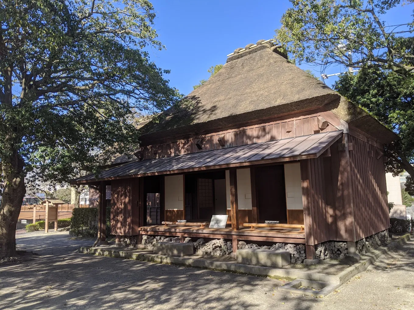
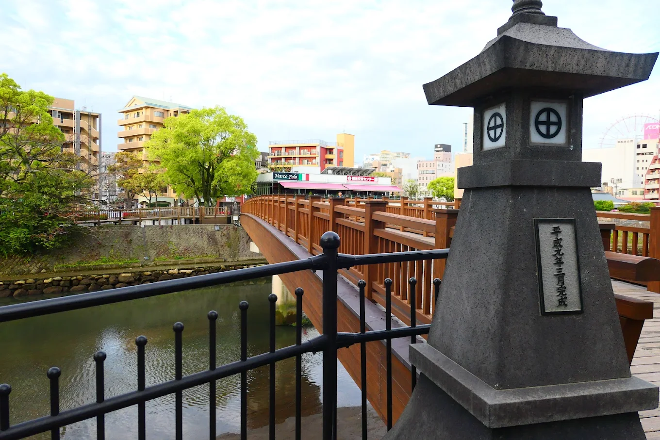
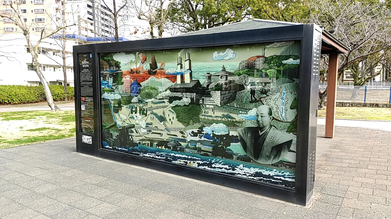
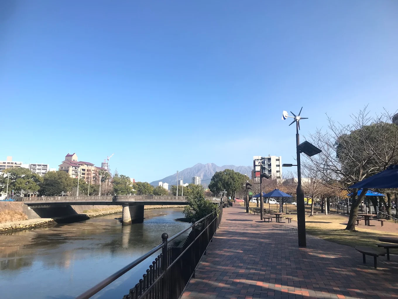
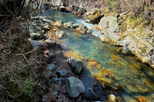
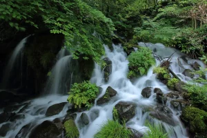
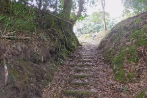
The Way of Kotsukigawa History Road follows the former Kotsukigawa River banks—once vital waterways and river crossings (like Magoroku-ferry) during the Edo and Meiji eras. This scenic trail highlights ancient stone quarries, ferry sites, old bridges, and legendary rock formations. The route is steeped in local lore—from samurai-era river punts to folklore of massive boulders split by clan battles—and reflects the evolution of regional transport and community life over centuries.
Highlights
Historic ferry spots like Magoroku-watashi, where manual drawbridges once connected the riverbanks before modern bridges in the late 19th century .
Legendary rock formations, including the “Tashikimata split rock”—said to bear the mark of a sword strike from a 16th-century clan battle .
Edo-period stone quarries and rural paths, showcasing the region’s historical importance in inland transport and logistics.
Cultural continuity, with routes and remnants recorded in 19th-century maps, used for star-mapping, landmarking, and administrative travel .
Basic Information
Address:
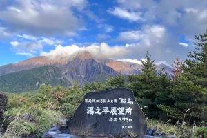
Kotsukigawa along the historic riverbanks, China-chō, Ōshima-gun, Kagoshima, Japan